News Summary
South Carolina residents are warned to prepare for severe weather this March 5 as a powerful storm system is expected to bring heavy winds and rain. The Midlands and eastern areas could see gusts up to 75 mph, raising the risk of downed trees and power outages. Residents are advised to secure outdoor items and stay updated as conditions develop. A statewide burn ban is also in effect due to heightened fire risks. Stay safe and vigilant, especially from morning until early afternoon when storms are predicted to peak.
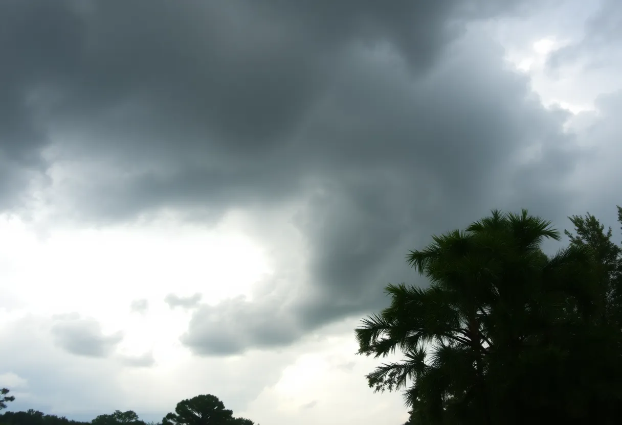
Severe Weather Alert for South Carolina: Strong Storms on the Way!
Attention, South Carolina residents! Brace yourselves for a wild ride as a potent storm system approaches the state on March 5. If you live in the Midlands or beyond, you’ll want to pay close attention because a Weather Impact Alert has just been issued, warning of severe storms expected to roll through from the early morning hours until early afternoon.
What to Expect: Winds and Rain
Forecasters are predicting some serious winds, with gusts reaching anywhere between 60 to 75 mph in several locations. This has significantly heightened the risk of downed trees and potential power outages, so be ready! The eastern part of the state, especially, has been placed under an Enhanced Risk Level 3 out of 5 for severe storms. If you’re in the central Midlands, you’ll be at a slight risk, rated at Level 2 out of 5. The Upstate might see a bit less action, but don’t let your guard down!
Timing is Key
The severe storm conditions will start to move into the western Midlands around 7 to 8 a.m. and will steadily march eastward, making their way out by early afternoon. This means the best window for severe weather in inland counties is likely between 9 a.m. and 12 p.m. As for folks along the Grand Strand, keep an eye on the time between 12 p.m. and 2 p.m., as that’s when conditions could get stormy.
Heavy Rain and Tornado Potential
Get ready for some heavy rain, too! Accumulated precipitation could be around 0.50” to 1.00”, with some localized areas possibly seeing even more. Alongside the rain and gusty winds, there’s also a chance of isolated tornadoes. The storms are expected to form in a line, which means if a tornado happens, it could be hidden by rain, making it hard to spot. Stay alert!
Preparation is Key!
As the winds ramp up, which may begin as soon as Tuesday afternoon with sustained winds of up to 40 mph on Wednesday, it’s crucial to secure any outdoor items you have. Strong winds can turn patio furniture into projectiles, so make sure everything is tied down or brought indoors. Plus, it wouldn’t hurt to prepare just in case the power goes out. A flashlight and a few extra batteries could go a long way!
Fire Risks and Burn Bans
In addition to the storm concerns, the South Carolina Forestry Commission has issued a statewide burn ban due to high winds and dry conditions which could cause fire risks. With stormy weather on the way, it’s never a good mix!
Motorist Warnings
Those planning to head out, be cautious! High winds can create dangerous driving conditions, especially on elevated surfaces like bridges. If you find yourself on the road during peak winds, it’s best to take extra care and avoid sudden moves.
Wildfire Updates
Meanwhile, the ongoing Carolina Forest wildfire, which has grown to 2,059 acres and is currently about 30% contained, might experience changes in smoke dispersal due to the incoming winds. So, if you’re in the area, keep your eyes peeled for updates.
Stay Safe, South Carolina!
The severe weather risk spans across several counties, including Robeson, Scotland, Darlington, Florence, Williams, Dillon, Marlboro, Marion, Georgetown, Horry, and Columbus. So, no matter where you are in the state, keep tuned in for updates. Stay safe out there, everyone! It looks like March 5 might just be a stormy one!
Deeper Dive: News & Info About This Topic
HERE Resources
Fire Weather Watch for Pee Dee, Grand Strand, and Border Belt
Winter Weather Advisory Issued for Pee Dee Region
Winter Weather Advisory Hits the Carolinas
Winter Weather Alert for Pee Dee and Border Belt
Unseasonably Warm Weekend Forecast for Myrtle Beach
Unseasonably Warm February Weather Hits South Carolina
Winter Weather Alert: Two Major Storms Expected
Florence Schools Adjust to Winter Storm Closures
Florence County Faces Multiple Car Accidents
Severe Winter Storm Breaks Snowfall Records in Myrtle Beach
Additional Resources
- WLTX: Severe Storm Potential in South Carolina
- The Post and Courier: Severe Thunderstorms in South Carolina
- The State: Weather News Update
- Count on 2: Tornado Drill Postponed
- WISTV: Severe Weather Safety Week in SC
- Wikipedia: Severe Weather
- Google Search: Severe Weather South Carolina
- Google Scholar: Severe Weather Preparation
- Encyclopedia Britannica: Severe Weather
- Google News: South Carolina Weather Alerts